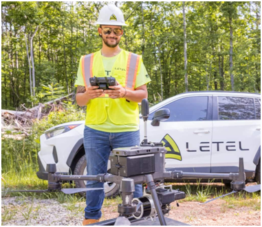
Consult the trusted lidar service providers for construction planning, surveying, aerial inspections, precision agriculture, 3D terrain mapping, and more.
TL; DR: Importance of lidar across various industries
- Know the importance of lidar technology in civil and urban planning.
- Grow high-yielding crops with lidar services and 3D mapping analysis.
- For accurate disaster risk and mitigation assessments, use lidar services.
- Lidar is the most advanced mapping technology, making automatic self-driving accurate.
- Save money in assessing the industrial infrastructures with lidar aerial studies.
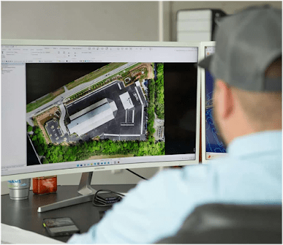
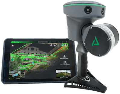
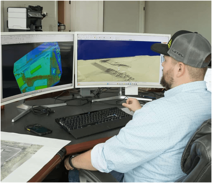
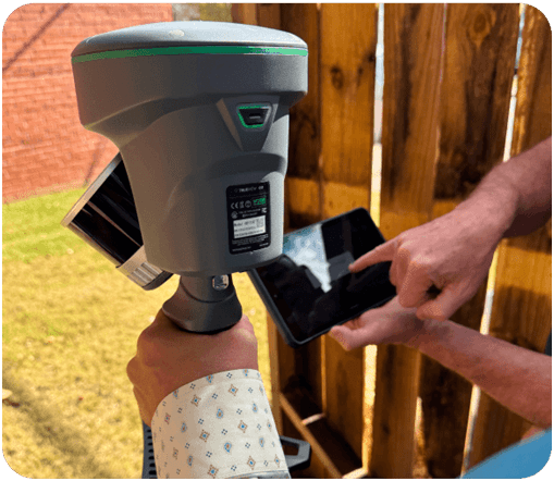
Planimetric mapping and lidar technology are revolutionizing landscape mapping. Across many industries, lidar technology is helping in aerial surveying. The accuracy and precision in 3D mapping have improved with the lidar technology. Let’s discuss how lidar is helping across various industries in detail.
Head to this https://www.youtube.com/watch?v=7QbOm3tAYWc for additional information.

Civil construction
Civil construction projects run on tight deadlines and budgets. Therefore, lidar technology supports civil planning projects. The integration of lidar technology provides a three-dimensional landscape study with in-depth, accurate 3D model designs, helping civil engineers in urban planning. Highly accurate 3D models developed using lidar technology help improve communication among architects, engineers, surveyors, and stakeholders involved in urban expansion planning. Furthermore, lidar technology also helps to identify structural changes in the landscapes for better comparison with previous data.
Wish to know more? Check this.
- Lidar technology in Agriculture
Farming is an unpredictable industry until the lidar innovation has come into existence. This advanced technology is helping farmers make better decisions when growing crops. LIDAR services are valuable for increasing crop yields, clear monitoring of soil type, production, and movements. With the predictions and forecasting analysis using lidar technology, farmers can plan crop types. Take preventive measures against soil erosion and water drainage through effective pre-planning. Thus, enhancing the vegetation growth prevents the unforeseen losses and damages.
- Lidar in disaster management
The natural calamities are unpredictable. With lidar technology, many lives from disasters can be saved. LiDAR 3D mapping provides informed decisions about disaster risk assessments, identifying potential hazards in the earth’s terrain structures. Therefore, the disaster rescue management team can take pre-disaster management measures. Furthermore, lidar technology also helps scale the damage caused by disasters with rapid mapping.
- How lidar is helping self-driving vehicles
Do you know how self-driving autos can take us to the right destinations with full accuracy? It is with the lidar system. Unlike GPS, which cannot accurately track in poor atmospheric conditions, lidar mapping services can gather accurate, real-time data about road markings, traffic signals, and obstructions on the road.

- Aerial inspections
It is difficult to inspect industrial assets, infrastructures, and power lines. This is where lidar drone technology is helpful. It helps in performing aerial inspections, thus reducing the inspection and maintenance operational costs.
Find more details at https://letelmetrics.com/.
Original Source: https://bit.ly/48R0a6G